Show List
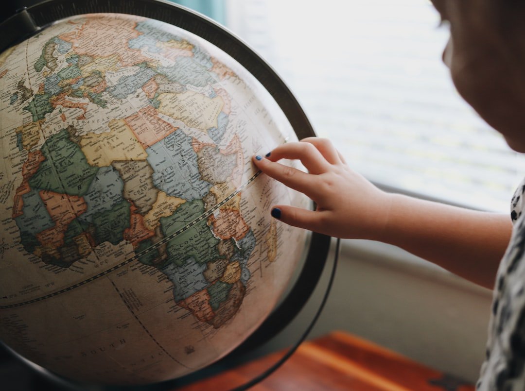
Maps and Globes

Geography is the study of the Earth's surface and the features that make it unique. Here are some basic geography concepts that you can teach your child:
Continents
: Continents are large land masses on Earth. There are seven continents: North America, South America, Europe, Asia, Africa, Australia, and Antarctica. Each continent has its own unique features and characteristics. For example, Africa is known for its vast deserts and savannas, while Asia is known for its ancient temples and bustling cities.Oceans
: Oceans are large bodies of saltwater that cover most of the Earth's surface. There are five oceans: the Pacific Ocean, the Atlantic Ocean, the Indian Ocean, the Southern Ocean, and the Arctic Ocean. Each ocean has its own unique marine life and weather patterns. For example, the Pacific Ocean is home to the largest coral reef system in the world, while the Atlantic Ocean is known for its hurricanes and tropical storms.Countries
: Countries are areas of land that have their own governments and borders. Each country has its own flag, language, and culture. For example, the United States is a country in North America. Other countries include China, France, Brazil, and Kenya.In summary, maps and globes help us understand the world around us. Geography is the study of the Earth's surface and the features that make it unique, including continents, oceans, and countries. Teaching your child about maps and geography can be fun and interactive, and can help them develop a better understanding of the world they live in.
Leave a Comment